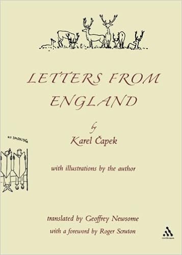
Karel Čapek
Letters from England
(Continuum, 2001)
What is the connexion between Czechoslovakia, ant, London and robots? Answer: Karel Čapek.
 Čapek (1890-1938) was a Czech novelist, dramatist and journalist who was mostly active in the 1920s and 30s. He is possibly best known today for two plays written with his brother Josef: R.U.R. (Rossum’s Universal Robots) and Pictures from the Insects’ Life (aka. The Insect Play). This latter I have known since school as we did it as the school play in my final year; it is strange, weird and disturbing. With R.U.R. Čapek is credited with the invention of the term “robot”.
In 1924 Čapek visited Britain and Letters from England is the resulting sketches about the visit. It is a small paperback which I’ve had on the shelves for many years and dipped into occasionally – as I have done again recently.
The sketches, originally written in Czech but in several translations, are a mixture travel diary and cynical but humorous observation.
Čapek travels the length and breadth of the Britain (but omits Ireland). The first third of the volume is taken up with London, including this wonderful description of his first visit:
I remember with horror the day when they first brought me to London. First, they took me by train, then they ran through some huge, glass halls and pushed me into a barred cage which looked like a scales for weighing cattle. This was ‘a lift’ and it descended through an armour-plated well, whereupon they hauled me out and slid away through serpentine, underground corridors. It was like a horrible dream. Then there was a sort of tunnel or sewer with rails, and a buzzing train flew in. They threw me into it and the train flew on and it was very musty and oppressive in there, obviously because of the proximity to hell. Whereupon they took me out again and ran through new catacombs to an escalator which rattles like a mill and hurtles to the top with people on it. I tell you, it is like a fever. Then there were several more corridors and stairways and despite my resistance they led me out into the street, where my heart sank. A fourfold line of vehicles shunts along without end or interruption; buses, chugging mastodons tearing along in herds with bevies of little people on their backs, delivery vans, lorries, a flying pack of cars, steam engines, people running, tractors, ambulances, people climbing up onto the roofs of buses like squirrels, a new herd of motorised elephants; there, and now everything stands still, a muttering and rattling stream, and it can’t go any further …
This, remember, is 1924. Plus ça change!
Čapek perambulates an astonishing amount of the country: Oxford, Cambridge, Yorkshire, North Wales, the Lake District, Edinburgh, Inverness … and here he is in the Isle of Skye:
I am in a region which is called Skye, that is to say ‘Sky’, although I am not in the heavens but only in the Hebrides, on a large, strange island among other islands, on an island consisting of fjords, peat, rocks and summits. I collect coloured shells among the blue or flaxen pebbles and by a special grace of heaven even find the droppings of a wild elk, which is the milch cow of Gaelic water nymphs. The hillsides drip like a saturated sponge, the bruach heather catches at my feet, but then, folks, the islands of Raasay and Scalpay, Rhum and Eigg are visible and then one can see mountains with strange and ancient names like Beinn na Callaich … It is beautiful and poor, and the original shanties look as prehistoric as if they had been built by the long-departed Picts, of whom, as is well known, nothing is known.
Interspersed with the text are occasional thumbnail sketches by the author: naïve but humorous. And Čapek meets people, often well known people, like George Bernard Shaw, who sketches, twice:
This is an almost supernatural personality, Mr Bernard Shaw. I couldn’t draw him better because he is always moving and talking. He is immensely tall, thin and straight and looks half like God and half like a very malicious satyr, who, however, by a thousand-year process of sublimation has lost everything that is too natural. He has white hair, a white beard and very pink skin, inhumanly clear eyes, a strong and pugnacious nose, something knightly from Don
Quixote, something apostolic and something which makes fun of everything in the world, including himself; never in all my life have I seen such an unusual being; to tell you the truth, I was frightened of him. I thought that it was some spirit which was only playing at being the celebrated Bernard Shaw. He is a vegetarian, I don’t know whether from principle or from gourmandaise. One never knows whether people have principles on principle or whether for their own personal satisfaction.
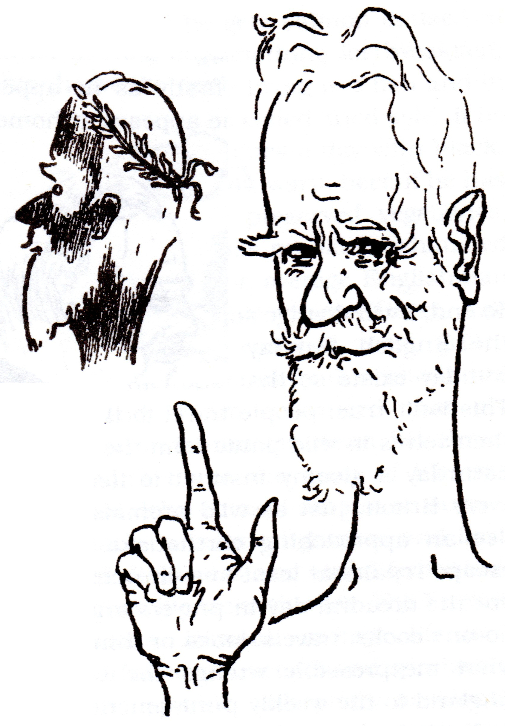 This is an almost supernatural personality, Mr Bernard Shaw. I couldn’t draw him better because he is always moving and talking. He is immensely tall, thin and straight and looks half like God and half like a very malicious satyr, who, however, by a thousand-year process of sublimation has lost everything that is too natural. He has white hair, a white beard and very pink skin, inhumanly clear eyes, a strong and pugnacious nose, something knightly from Don
If you want a criticism, the prose does get a bit tedious and turgid at times, however all in all this is a delightfully eccentric and amusing small volume; very readable in small doses, so eminently suitable for dipping into or light bedtime reading.
Overall Rating: ★★★★☆
 This is another of my Christmas acquisitions. It is a large coffee table book of almost 250 pages containing (mostly) photographs and diagrams on a black background with relatively little, but simple, textual explanation. It is a science book for the non- or only-just-scientist in which Gray sets out to show us how everything around us is built.
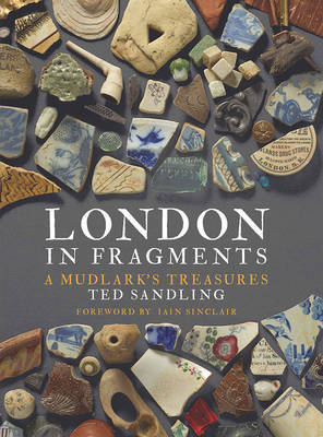 I was given this book at Christmas – well what else do you give a Londoner who is interested in the history and eccentricity of the city? I’ve been reading it in small chunks, which is why I’ve only just finished it.
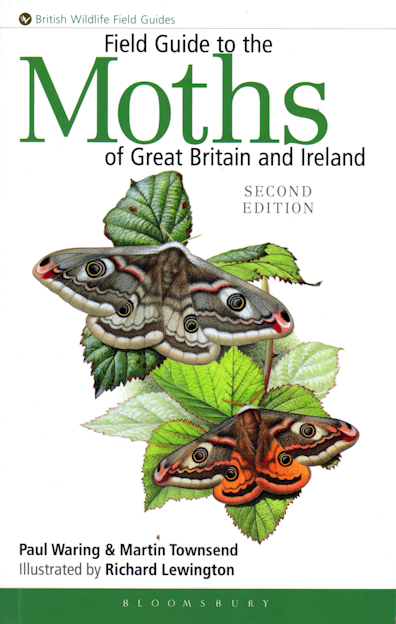 This is a magnificent tome, but not what I would define as a “field guide”: for an octavo paperback of almost 450 pages, on glossy paper and weighing almost 900 gm you would need a poacher’s pocket or a JCB to carry it around. It is a reference book — and a brilliant one at that — but as such it is not something to be read from cover to cover but explored when needed. It is an essential on the shelves of anyone with an interest in the huge diversity of the insect world, especially, obviously, moths.
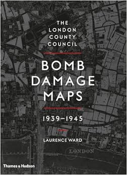 During WWII the Architects Department of the London County Council (the LCC; then the local authority for what are now the central London boroughs) set about documenting the cumulative bomb damage in the capital city. This was an area from Woolwich in the east to Hammersmith in the west, and from Crystal Palace in the south to Highgate in the north. Detailed maps were produced showing every property, from the smallest cottage to the large factories. Teams of surveyors soured the area to assess any bomb damage to properties. The damage was graded from “total destruction” down to “minor blast damage” and areas marked for clearance. The sites of V1 flying bomb and V2 rocket impacts were also marked.
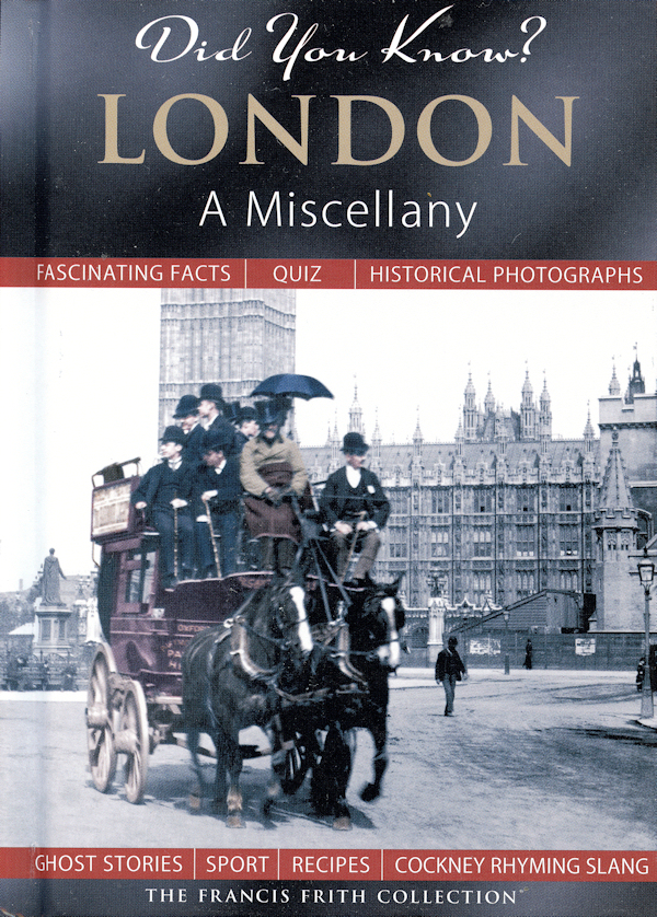 This is a very small book of just 60 pages and under A5 in size, but it is nicely produced in a good hard cover. It is text heavy, which is good, with about 30 B&W photographs of London nearly all from the period 1875 to 1915. It essentially covers “central London”, being the Cities of London and Westminster, although there are mentions of some areas a little outside like Southwark and the docks.
 This is the first in a series by Peter Ackroyd in which he charts the history of England (and he does mean England, not Britain). The already available subsequent two volumes cover the Tudors and the Civil War.