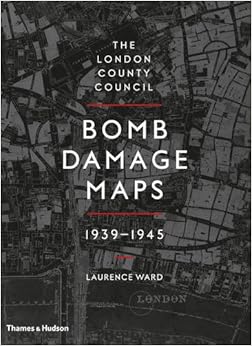
Laurence Ward
The London County Council Bomb Damage Maps, 1939-1945
Thames & Hudson, 2015
 During WWII the Architects Department of the London County Council (the LCC; then the local authority for what are now the central London boroughs) set about documenting the cumulative bomb damage in the capital city. This was an area from Woolwich in the east to Hammersmith in the west, and from Crystal Palace in the south to Highgate in the north. Detailed maps were produced showing every property, from the smallest cottage to the large factories. Teams of surveyors soured the area to assess any bomb damage to properties. The damage was graded from “total destruction” down to “minor blast damage” and areas marked for clearance. The sites of V1 flying bomb and V2 rocket impacts were also marked.
The task required 110 maps at a scale of 1:2500 (that’s 25 inches to the mile), and each measuring roughly 75x106cm; these were based on the 1916 Ordnance Survey maps, updated to 1940. And they were hand-coloured according to the level of destruction found. Each of the maps is reproduced here at roughly 1/3 size. And boy do they give a vivid picture of the destruction wrought by the Luftwaffe. Every map contains something interesting — just look at the map for the area of the City around Farringdon and Holborn: it is one big swathe of purple, meaning “Damaged beyond Repair”, from the river to Hoxton and from Bank to the west of Blackfriars Bridge. Overall, getting on for 50% of the Square Mile must have been demolished!

This is just a part of the destruction in the City of London.
The map is centred on St Paul’s Cathedral.
The maps are part of the LCC archives, now held by the London Metropolitan Archives. They were first compiled into this book back in 2005 by the LMS in conjunction with the London Topographical Society. And now they’ve been published for everyone.
Given the number of maps, it is no great surprise that this is an enormous tome measuring 37x27x3cm and weighing in at only just under 3kg! Despite the size, it is definitely not a coffee table book; nor is it a book to read front to back, or even back to front. It is a reference for anyone interested in the history and topography of London, and that will include family historians who may wish to research where their ancestors lived. As I say, every map contains something of interest.
In addition there are 30 or more pages of introductory material, documenting the maps, the surveyors and rescue teams, and a detailed listing of all the Luftwaffe raids; and another almost 50 pages of photographs documenting the destruction.
All in all this is an absolutely stunning collection for those interested in London or WWII. Just don’t try reading it in bed!
Overall Rating: ★★★★★
